Multi-Risk Vulnerability Index
Originally developed by the World Bank, the City Disaster Vulnerability Index (MRVI) plugin is a QGIS plugin which allows a user to generate and adjust custom vulnerability indexes in connection with geospatial data. It has been customised in the MYRIAD-EU project to become the Multi-Risk Vulnerability Index plugin (MRVI).
Some of the other tools in this suite have been developed to allow you to share data with this plugin. For example, you can export GeoJSON files from the Exposure at Risk tool, which includes NUTS3 regions and corresponding vulnerability data for each region. These files can then be imported into QGIS and the data used within the plugin.
Installation
Download the MRVI plugin.
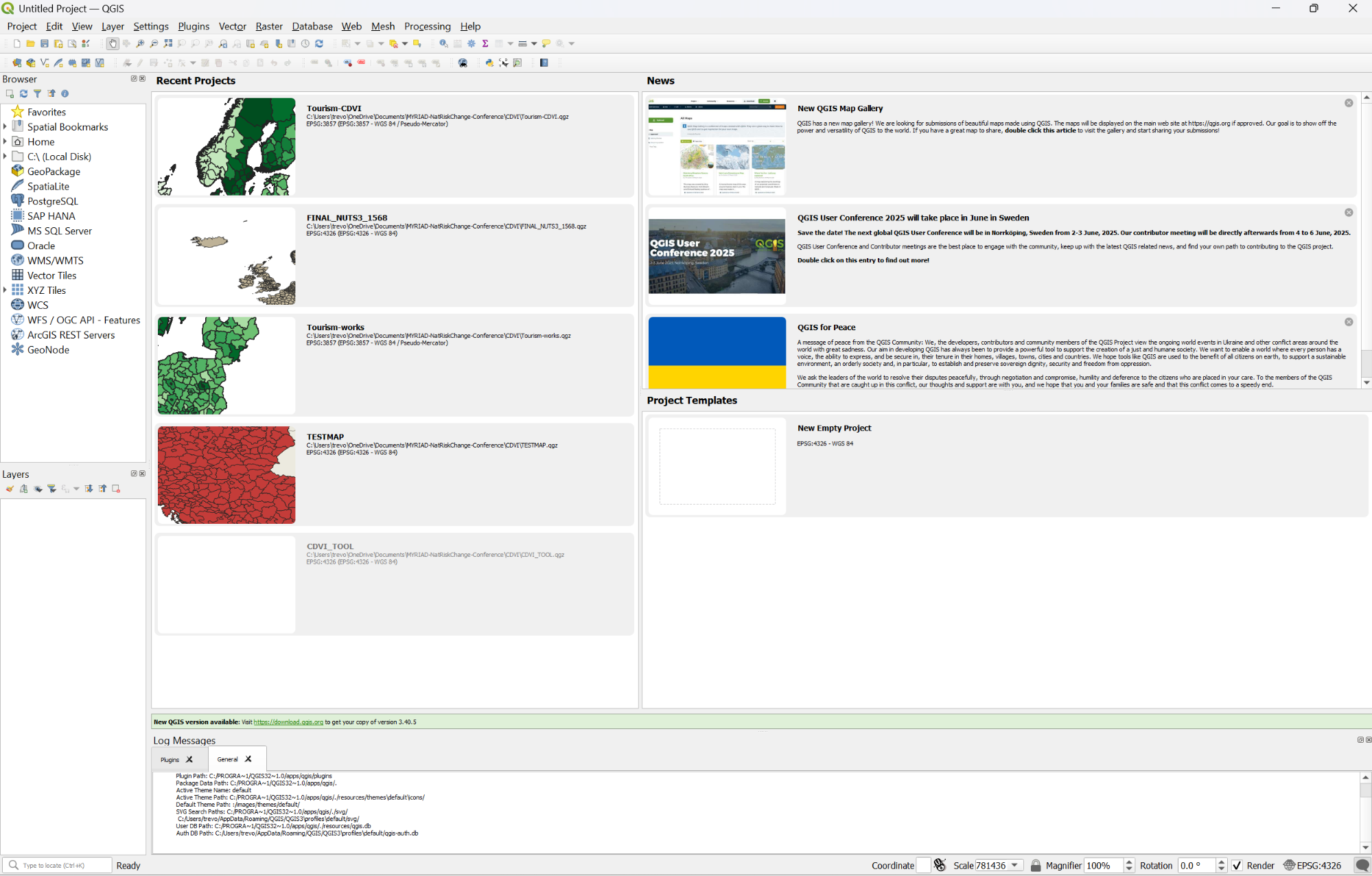
Open QGIS, which is free and open source software you can download from https://qgis.org.
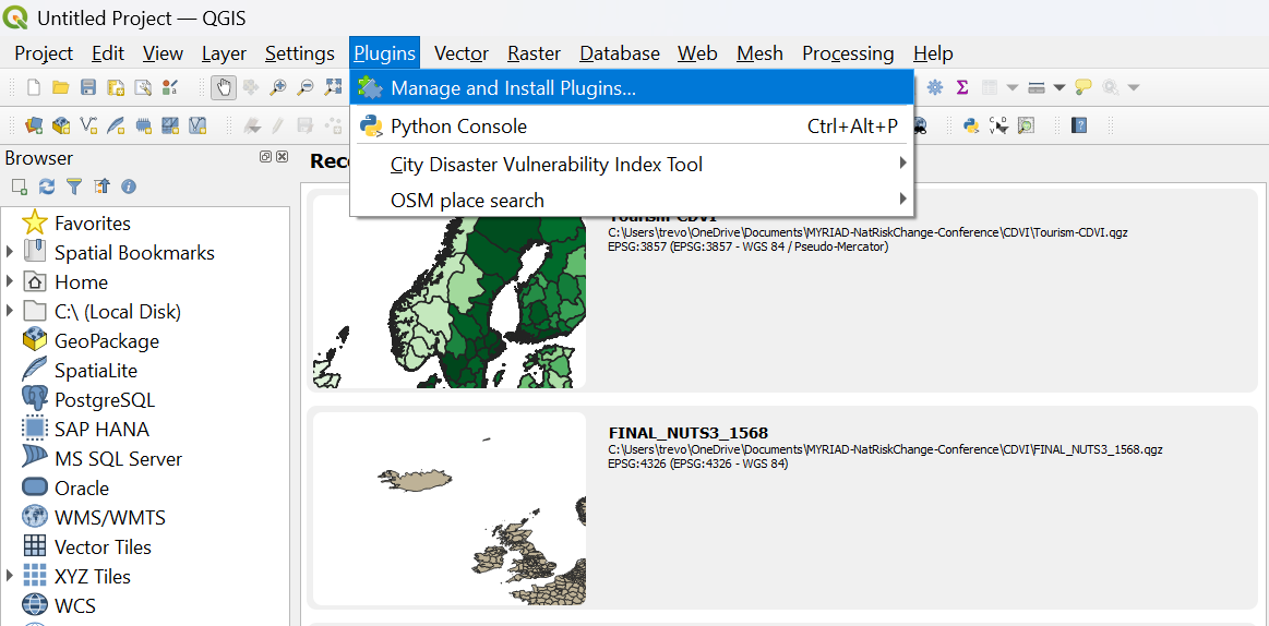
To install the MRVI plug-in, navigate to Plugins > Manage and Install Plugins
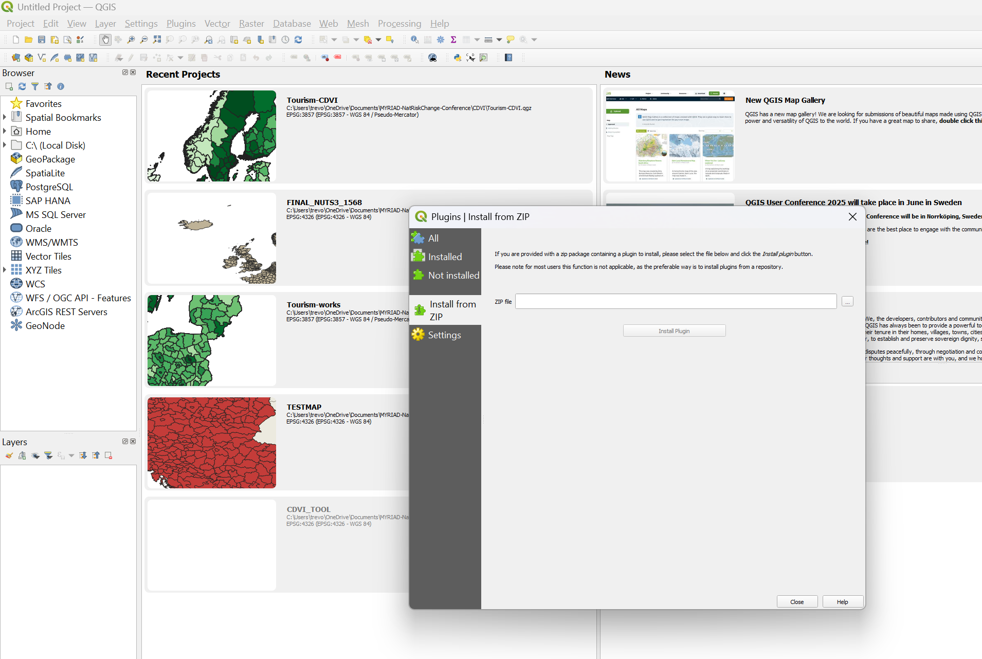
Select “Install from ZIP”. Navigate to the zip file you downloaded from the platform and click “Install plugin”. Congratulations, the plugin is now ready to use.
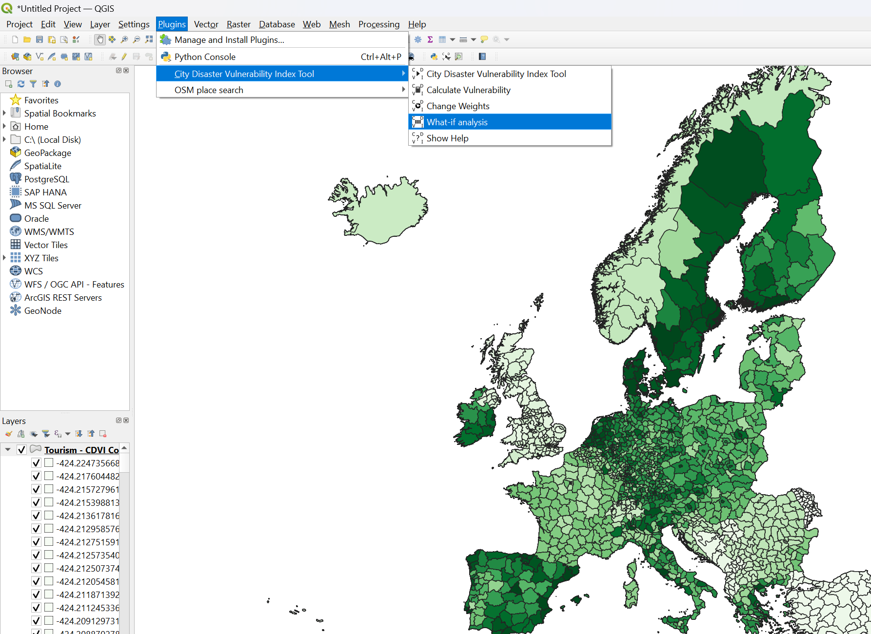
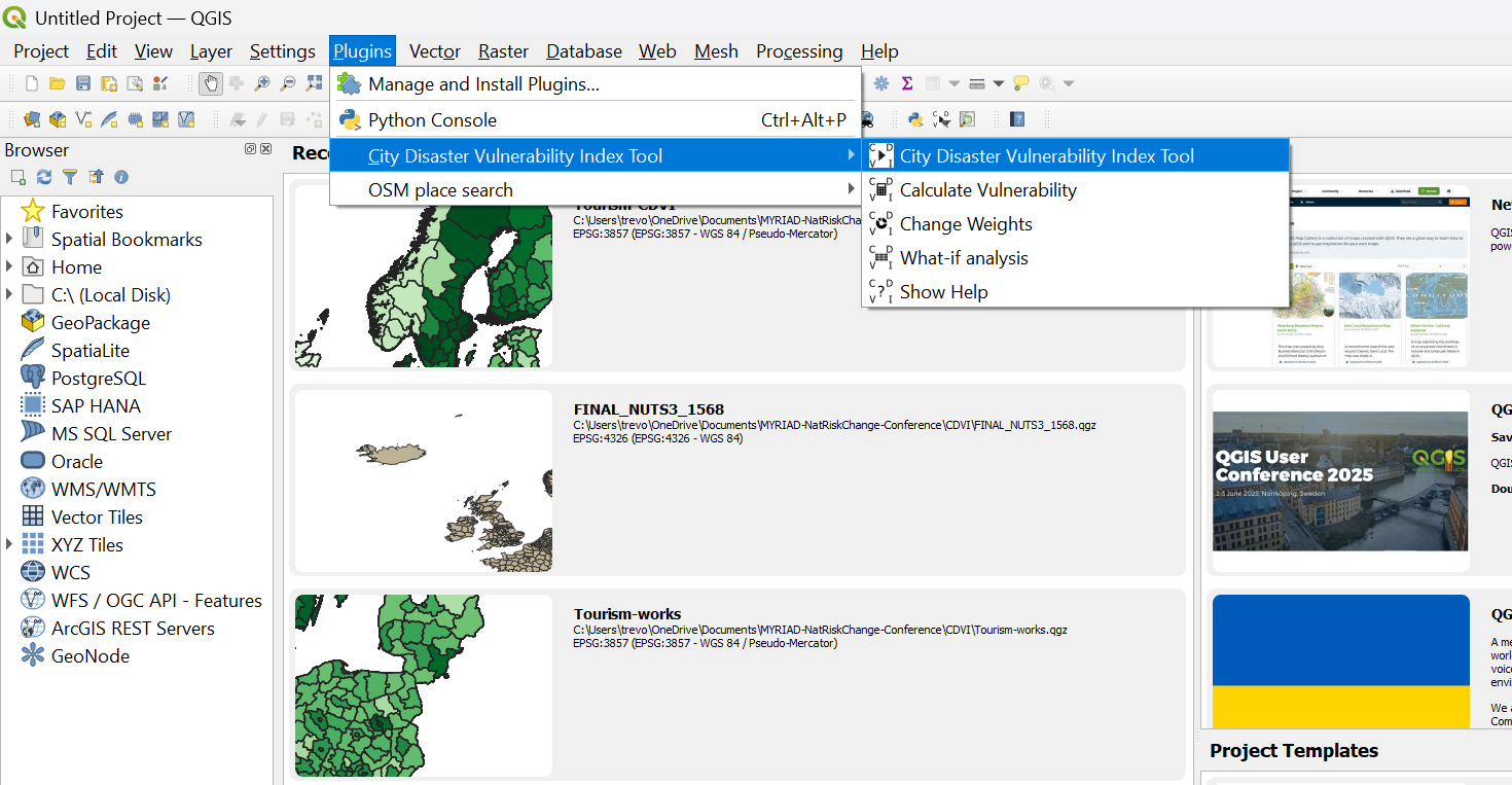
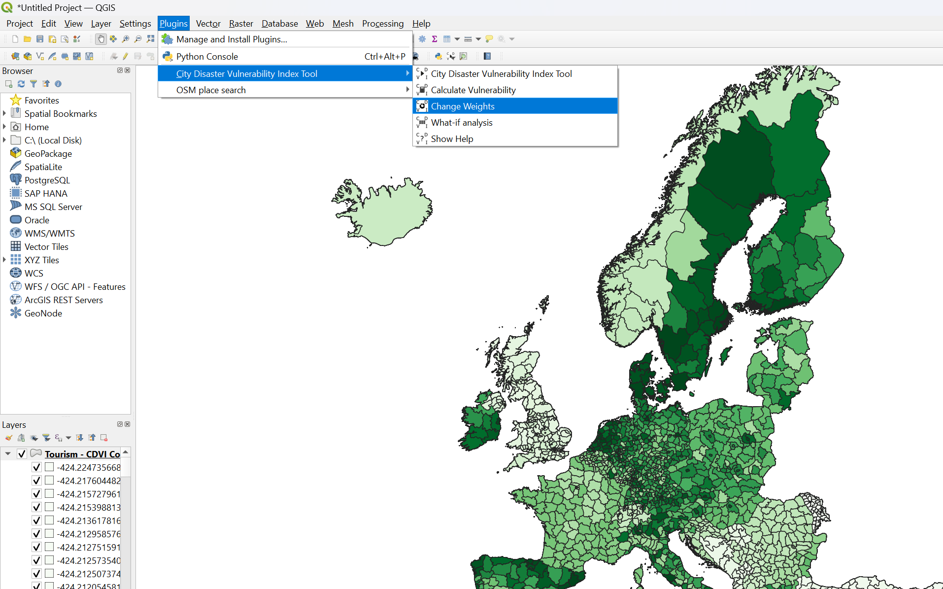
Open the MRVI plugin by navigating to Plugins > City Vulnerability Index Tool
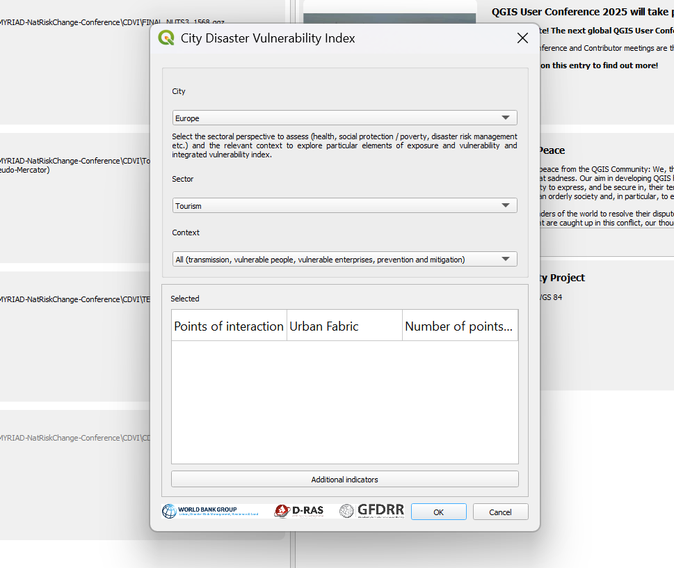
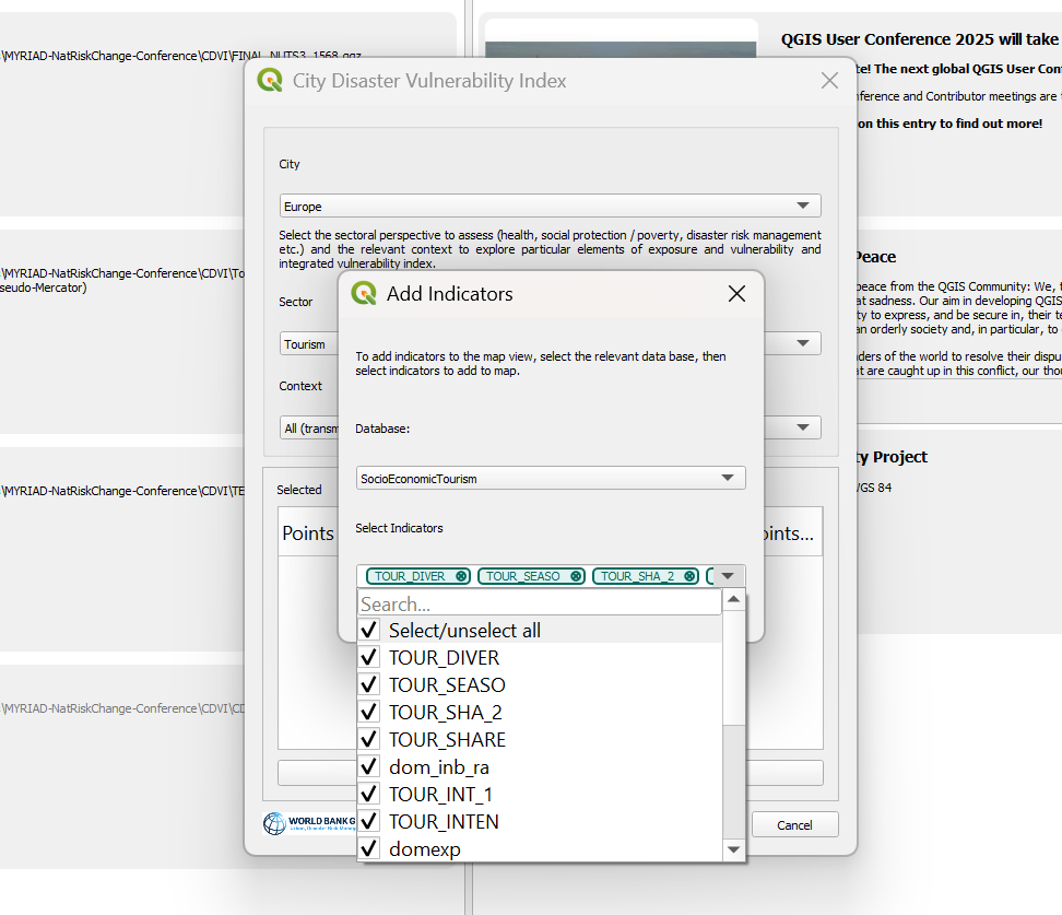
Select the region, e.g., Europe, and enter the sector. Click “Additional indicators” to select individual indicators.
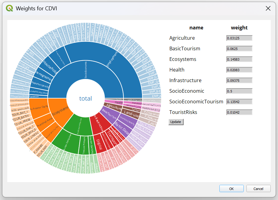
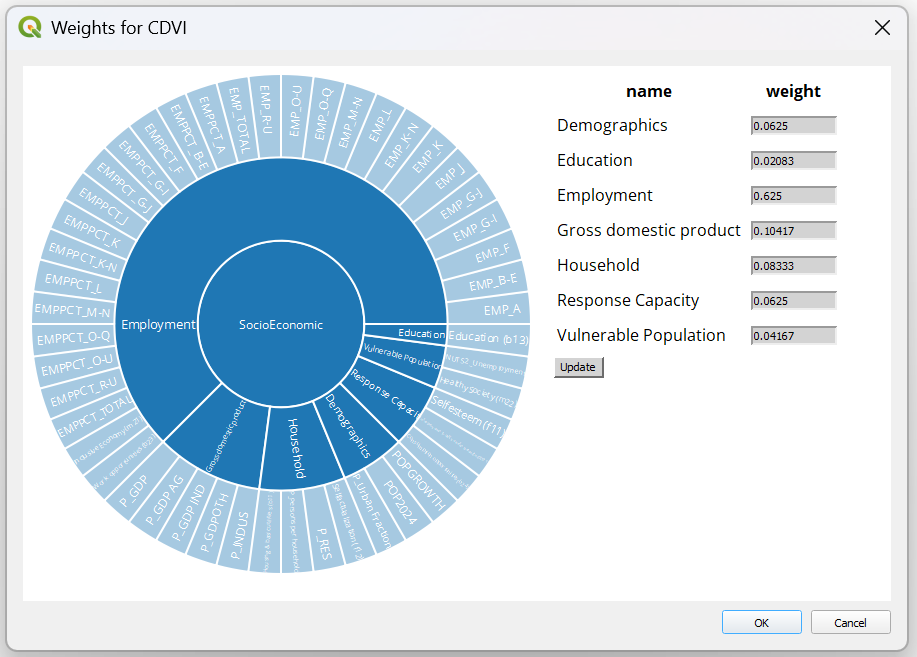
To change weights, navigate to “Change weights”.
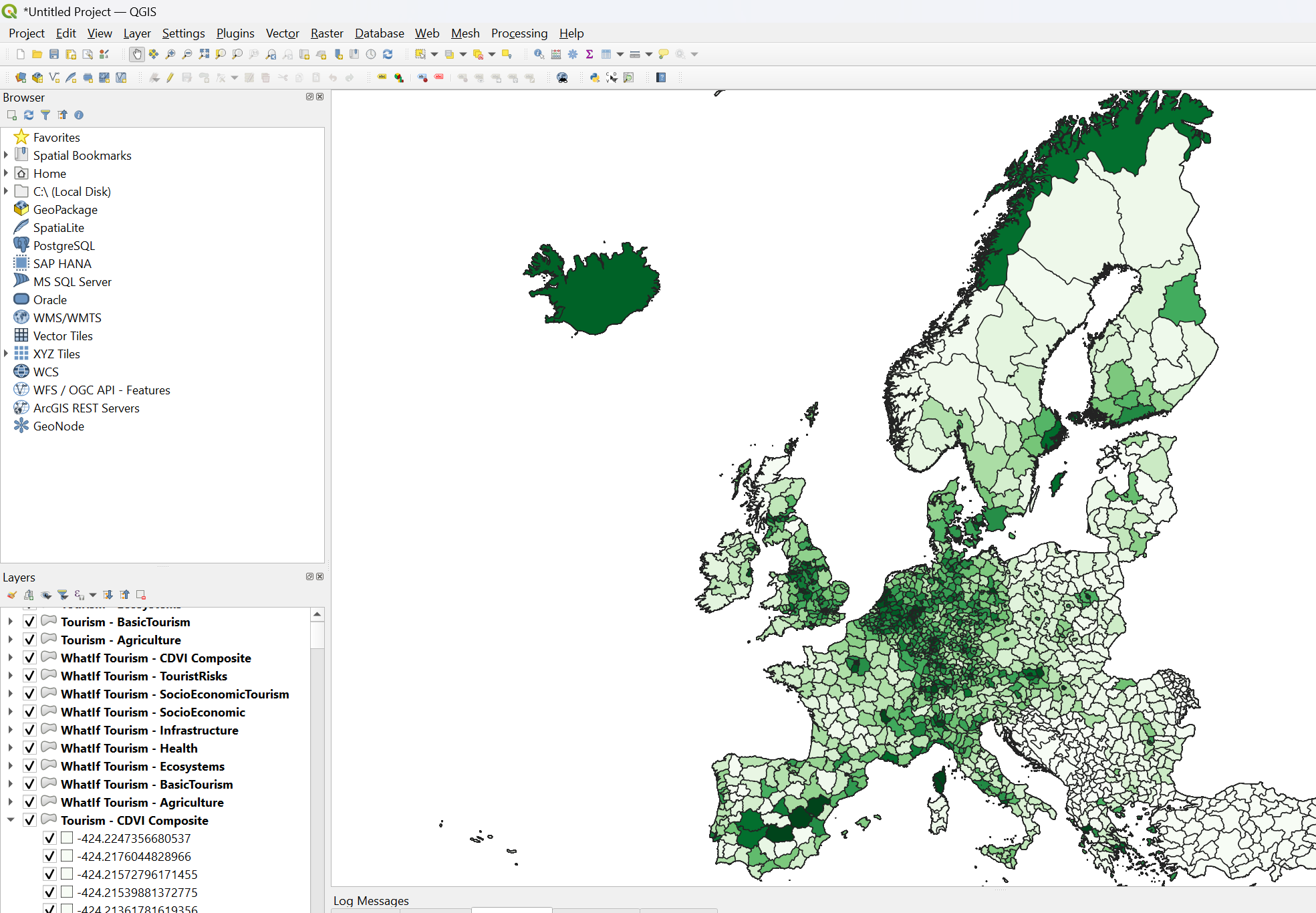
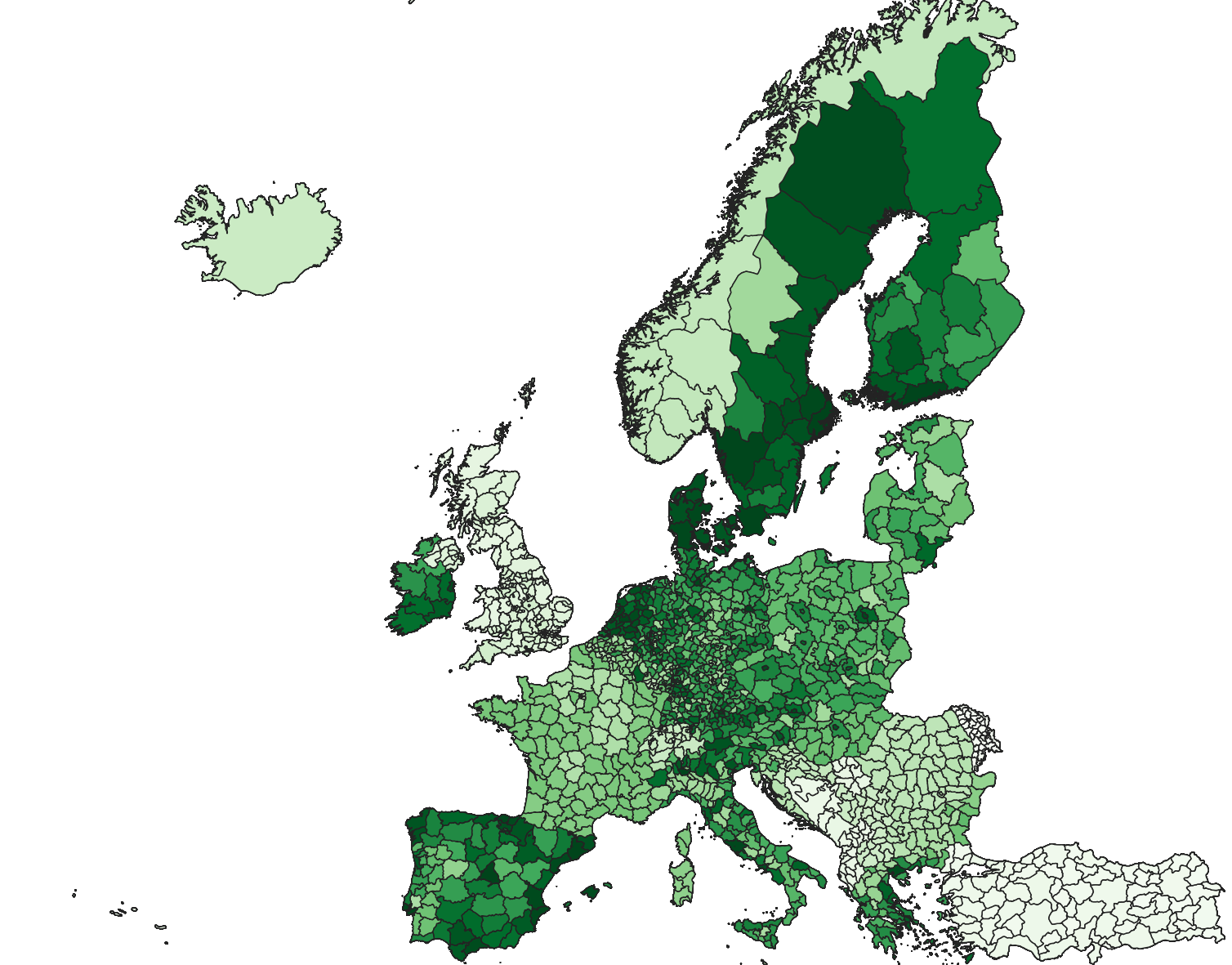
Navigate to “Calculate vulnerability” to calculate the values per pillar on the map view.
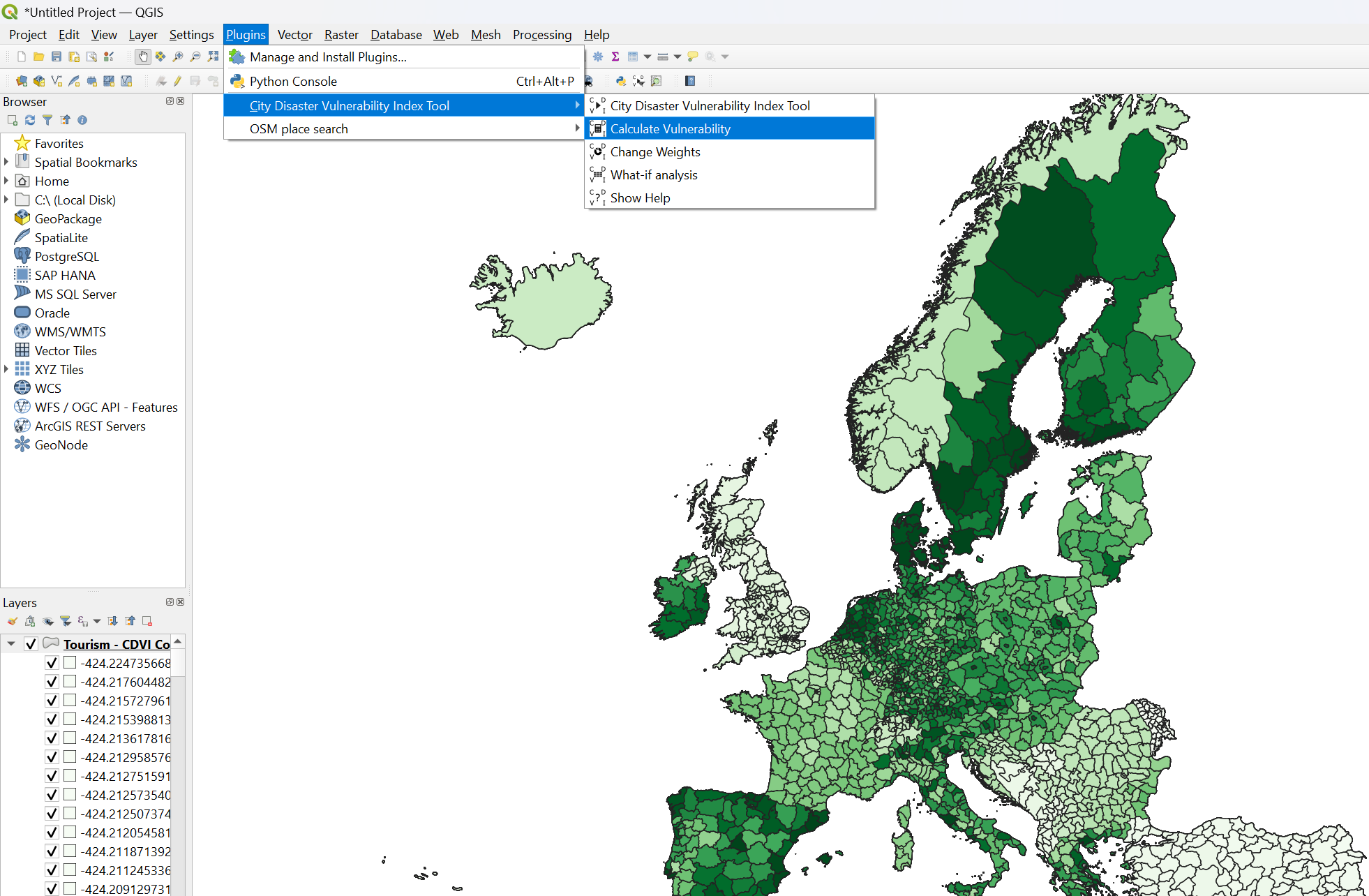
The “What if” analysis allows you to create multipliers for particular indicators and locations to test the impact of changes to conditions in the vulnerability index.